
Achoora topographic map
Interactive map
Click on the map to display elevation.
About this map
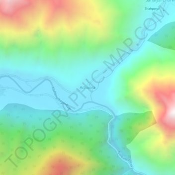
Name: Achoora topographic map, elevation, terrain.
Location: Achoora, Gurez, Bandipore District, Jammu and Kashmir, India (34.61409 74.85263 34.65409 74.89263)
Average elevation: 2,850 m
Minimum elevation: 2,416 m
Maximum elevation: 3,862 m