
Horuru topographic map
Interactive map
Click on the map to display elevation.
About this map
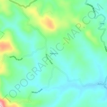
Name: Horuru topographic map, elevation, terrain.
Location: Horuru, Somawarpet taluk, Kodagu, Karnataka, 571237, India (12.39816 75.79447 12.43816 75.83447)
Average elevation: 965 m
Minimum elevation: 893 m
Maximum elevation: 1,179 m