
商丘市 topographic map
Interactive map
Click on the map to display elevation.
About this map
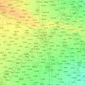
Name: 商丘市 topographic map, elevation, terrain.
Location: 商丘市, 河南省, 中国 (33.70752 114.82244 34.86343 116.64562)
Average elevation: 47 m
Minimum elevation: 28 m
Maximum elevation: 118 m
Other topographic maps
Click on a map to view its topography, its elevation and its terrain.