
泺口街道 topographic map
Interactive map
Click on the map to display elevation.
About this map
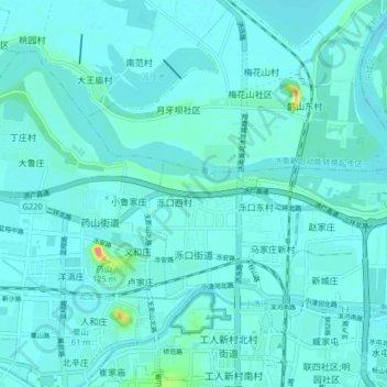
Name: 泺口街道 topographic map, elevation, terrain.
Location: 泺口街道, 天桥区, 济南市, 山东省, 250000, 中国 (36.68928 116.95626 36.75475 117.02830)
Average elevation: 29 m
Minimum elevation: 21 m
Maximum elevation: 94 m