
鱼台县 topographic map
Interactive map
Click on the map to display elevation.
About this map
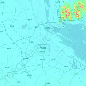
Name: 鱼台县 topographic map, elevation, terrain.
Location: 鱼台县, 济宁市, 山东省, 272300, 中国 (34.89569 116.38443 35.16970 116.81401)
Average elevation: 40 m
Minimum elevation: 30 m
Maximum elevation: 316 m
Other topographic maps
Click on a map to view its topography, its elevation and its terrain.
昌邑市城市规划技术服务中心潍河西开放式养殖项目
昌邑市城市规划技术服务中心潍河西开放式养殖项目, 昌邑市, 潍坊市, 山东省, 中国
Average elevation: 0 m