
Erp topographic map
Interactive map
Click on the map to display elevation.
About this map
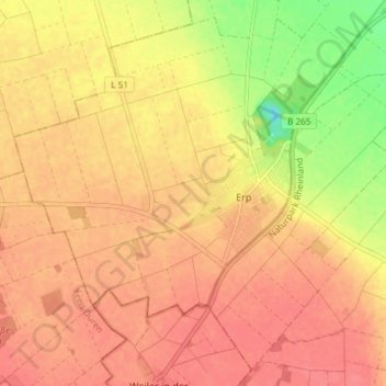
Name: Erp topographic map, elevation, terrain.
Average elevation: 133 m
Minimum elevation: 92 m
Maximum elevation: 150 m
Other topographic maps
Click on a map to view its topography, its elevation and its terrain.
Liblar
Deutschland > Nordrhein-Westfalen > Erftstadt > Liblar
Liblar, Erftstadt, Rhein-Erft-Kreis, Nordrhein-Westfalen, 50374, Deutschland
Average elevation: 110 m