
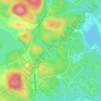
Lac Cornu topographic map
Interactive map
Click on the map to display elevation.
About this map
Name: Lac Cornu topographic map, elevation, terrain.
Average elevation: 247 m
Minimum elevation: 203 m
Maximum elevation: 322 m
Other topographic maps
Click on a map to view its topography, its elevation and its terrain.
Lac Maillé
Canada > Québec > Saint-Hippolyte
Lac Maillé, Saint-Hippolyte, La Rivière-du-Nord, Laurentides, Québec, Canada
Average elevation: 248 m
Lac Corriveau
Canada > Québec > Saint-Hippolyte
Lac Corriveau, 560e Avenue, Saint-Hippolyte, La Rivière-du-Nord, Laurentides, Québec, J8A 2R4, Canada
Average elevation: 353 m
Lac-en-Coeur
Canada > Québec > Saint-Hippolyte
Lac-en-Coeur, Saint-Hippolyte, La Rivière-du-Nord, Laurentides, Québec, J8A 2R4, Canada
Average elevation: 360 m