
Bosler topographic map
Interactive map
Click on the map to display elevation.
About this map
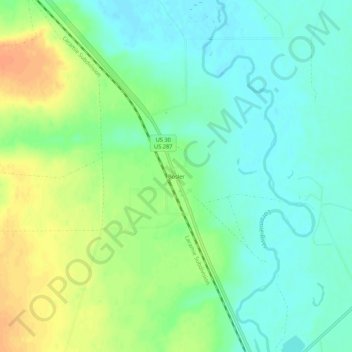
Name: Bosler topographic map, elevation, terrain.
Location: Bosler, Albany County, Wyoming, United States (41.55608 -105.71527 41.59608 -105.67527)
Average elevation: 2,154 m
Minimum elevation: 2,140 m
Maximum elevation: 2,177 m