
Ketileng topographic map
Interactive map
Click on the map to display elevation.
About this map
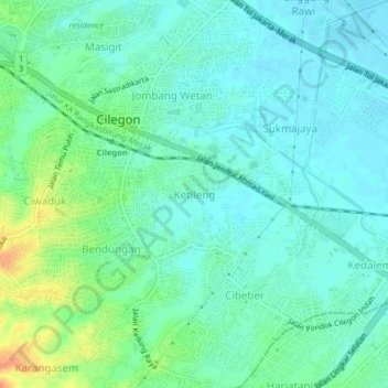
Name: Ketileng topographic map, elevation, terrain.
Location: Ketileng, Cilegon, Banten, 42411, Indonesia (-6.04516 106.04167 -6.00516 106.08167)
Average elevation: 15 m
Minimum elevation: 2 m
Maximum elevation: 48 m