
Bückeburg topographic map
Interactive map
Click on the map to display elevation.
About this map
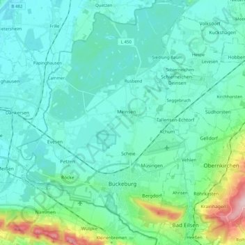
Name: Bückeburg topographic map, elevation, terrain.
Location: Bückeburg, Landkreis Schaumburg, Lower Saxony, 31675, Germany (52.23405 8.96332 52.35156 9.10163)
Average elevation: 71 m
Minimum elevation: 35 m
Maximum elevation: 271 m