
Charo topographic map
Interactive map
Click on the map to display elevation.
About this map
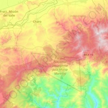
Name: Charo topographic map, elevation, terrain.
Location: Charo, Michoacán, México (19.54087 -101.10017 19.79733 -100.91264)
Average elevation: 2,001 m
Minimum elevation: 1,155 m
Maximum elevation: 2,967 m