
Thank you for supporting this site ❤️
Make a donation
Make a donation
Taman Sari topographic map
Click on the map to display elevation.
Thank you for supporting this site ❤️
Make a donation
Make a donation
About this map
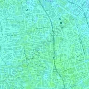
Name: Taman Sari topographic map, elevation, terrain.
Average elevation: 7 m
Minimum elevation: 3 m
Maximum elevation: 10 m
Thank you for supporting this site ❤️
Make a donation
Make a donation
Other topographic maps
Click on a map to view its topography, its elevation and its terrain.
"Beautiful Indonesia" Miniature Park
Indonesia > Jakarta Special Capital Region
Average elevation: 39 m
Thank you for supporting this site ❤️
Make a donation
Make a donation
Gunung Sahari Selatan
Indonesia > Jakarta Special Capital Region > Gunung Sahari Selatan
Average elevation: 6 m
Thank you for supporting this site ❤️
Make a donation
Make a donation