
Thank you for supporting this site ❤️
Make a donation
Make a donation
Gelenbe topographic map
Click on the map to display elevation.
Thank you for supporting this site ❤️
Make a donation
Make a donation
About this map
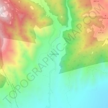
Name: Gelenbe topographic map, elevation, terrain.
Location: Gelenbe, Buharkent, Aydın, Aegean Region, Turkey (37.96197 28.66626 38.00197 28.70626)
Average elevation: 518 m
Minimum elevation: 156 m
Maximum elevation: 1,088 m
Thank you for supporting this site ❤️
Make a donation
Make a donation