
Heide topographic map
Interactive map
Click on the map to display elevation.
About this map
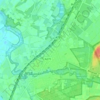
Name: Heide topographic map, elevation, terrain.
Location: Heide, Swalmen, Roermond, Limburg, Nederland, 6071 LG, Nederland (51.22104 6.02512 51.26104 6.06512)
Average elevation: 26 m
Minimum elevation: 14 m
Maximum elevation: 54 m
Other topographic maps
Click on a map to view its topography, its elevation and its terrain.