
红旗区 topographic map
Interactive map
Click on the map to display elevation.
About this map
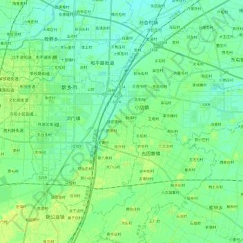
Name: 红旗区 topographic map, elevation, terrain.
Location: 红旗区, 新乡市, 河南省, 453000, 中国 (35.20271 113.86536 35.34807 114.09448)
Average elevation: 74 m
Minimum elevation: 68 m
Maximum elevation: 81 m
Other topographic maps
Click on a map to view its topography, its elevation and its terrain.