
Gareccing topographic map
Interactive map
Click on the map to display elevation.
About this map
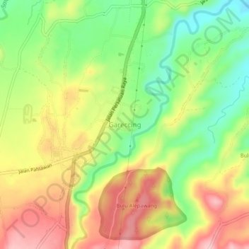
Name: Gareccing topographic map, elevation, terrain.
Location: Gareccing, South Sulawesi, 92661, Indonesia (-5.26823 120.14860 -5.22823 120.18860)
Average elevation: 170 m
Minimum elevation: 83 m
Maximum elevation: 261 m