
Banguntapan topographic map
Interactive map
Click on the map to display elevation.
About this map
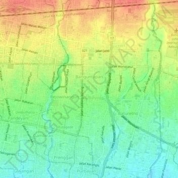
Name: Banguntapan topographic map, elevation, terrain.
Average elevation: 100 m
Minimum elevation: 75 m
Maximum elevation: 127 m
Other topographic maps
Click on a map to view its topography, its elevation and its terrain.
Gapuro Gedongkuning
Indonesia > Special Region of Yogyakarta > Bantul Regency > Banguntapan
Gapuro Gedongkuning, Banguntapan, Bantul Regency, Special Region of Yogyakarta, 55171, Indonesia
Average elevation: 103 m