
Reed City topographic map
Interactive map
Click on the map to display elevation.
About this map
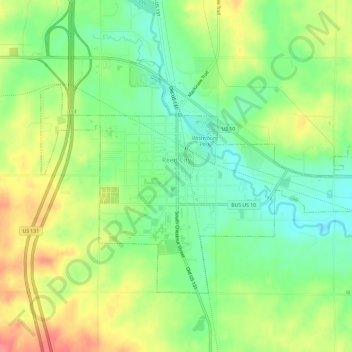
Name: Reed City topographic map, elevation, terrain.
Location: Reed City, Osceola County, Michigan, United States (43.85874 -85.53306 43.88728 -85.47350)
Average elevation: 331 m
Minimum elevation: 300 m
Maximum elevation: 371 m