
Windrock topographic map
Interactive map
Click on the map to display elevation.
About this map
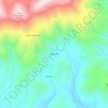
Name: Windrock topographic map, elevation, terrain.
Location: Windrock, Anderson County, Tennessee, United States (36.06508 -84.35104 36.10508 -84.31104)
Average elevation: 480 m
Minimum elevation: 254 m
Maximum elevation: 964 m