
Ahornis topographic map
Interactive map
Click on the map to display elevation.
About this map
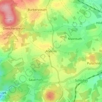
Name: Ahornis topographic map, elevation, terrain.
Location: Ahornis, Münchberg, Landkreis Hof, Bayern, 95233, Deutschland (50.17593 11.67485 50.21593 11.71485)
Average elevation: 615 m
Minimum elevation: 548 m
Maximum elevation: 707 m