
San Francisco Bay Area topographic map
Interactive map
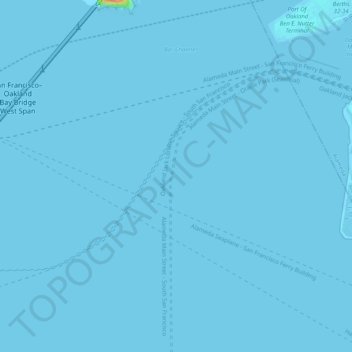
Click on the map to display elevation.
About this map
Name: San Francisco Bay Area topographic map, elevation, terrain.
Average elevation: 113 m
Minimum elevation: -7 m
Maximum elevation: 1,296 m
The borders of the San Francisco Bay Area are not officially delineated, and the unique development patterns influenced by the region's topography, as well as unusual commute patterns caused by the presence of three central cities and employment centers located in various suburban locales, has led to considerable disagreement between local and federal definitions of the area. Because of this, professor of geography at the University of California, Berkeley Richard Walker claimed that "no other U.S. city-region is as definitionally challenged [as the Bay Area]."
Other topographic maps
Click on a map to view its topography, its elevation and its terrain.
Presidio of San Francisco
United States > California > San Francisco
Presidio of San Francisco, San Francisco, CAL Fire Northern Region, California, 94129, United States
Average elevation: 38 m
Treasure Island
United States > California > San Francisco
Treasure Island, San Francisco, CAL Fire Northern Region, California, United States
Average elevation: 1 m
Angel Island
United States > California > San Francisco > Tiburon > Tiburon
Angel Island, Tiburon, San Francisco, California, United States
Average elevation: 26 m
Duncan Hill
United States > California > San Francisco
Duncan Hill, San Francisco, CAL Fire Northern Region, California, 94114, United States
Average elevation: 99 m