
Aïn El Kerma topographic map
Interactive map
Click on the map to display elevation.
About this map
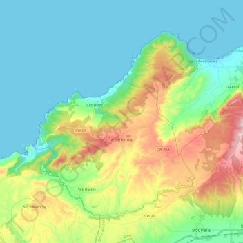
Name: Aïn El Kerma topographic map, elevation, terrain.
Location: Aïn El Kerma, Daïra Boutlelis, Oran, Algérie (35.58280 -1.13964 35.73218 -0.90597)
Average elevation: 155 m
Minimum elevation: -1 m
Maximum elevation: 554 m