
Cijantra topographic map
Interactive map
Click on the map to display elevation.
About this map
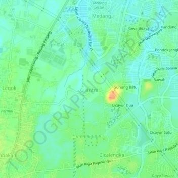
Name: Cijantra topographic map, elevation, terrain.
Location: Cijantra, Tangerang Regency, Banten, 15339, Indonesia (-6.30298 106.58928 -6.26298 106.62928)
Average elevation: 38 m
Minimum elevation: 25 m
Maximum elevation: 63 m