
Einem topographic map
Interactive map
Click on the map to display elevation.
About this map
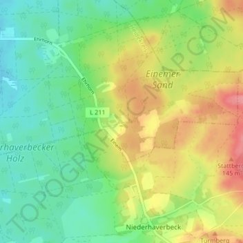
Name: Einem topographic map, elevation, terrain.
Location: Einem, Schneverdingen, Heidekreis, Niedersachsen, Deutschland (53.14516 9.88157 53.18516 9.92157)
Average elevation: 101 m
Minimum elevation: 68 m
Maximum elevation: 150 m