
Maçores topographic map
Interactive map
Click on the map to display elevation.
About this map
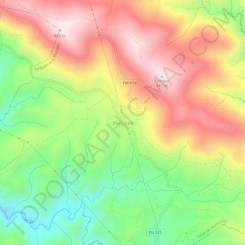
Name: Maçores topographic map, elevation, terrain.
Location: Maçores, Torre de Moncorvo, Distrito de Bragança, Portugal (41.10734 -7.02172 41.14734 -6.98172)
Average elevation: 560 m
Minimum elevation: 280 m
Maximum elevation: 846 m
Other topographic maps
Click on a map to view its topography, its elevation and its terrain.