
Urat topographic map
Interactive map
Click on the map to display elevation.
About this map
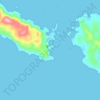
Name: Urat topographic map, elevation, terrain.
Location: Urat, West Papua, Indonesia (-3.16608 132.52326 -3.12608 132.56326)
Average elevation: 16 m
Minimum elevation: -2 m
Maximum elevation: 165 m