
Thank you for supporting this site ❤️
Make a donation
Make a donation
Cumes topographic map
Click on the map to display elevation.
Thank you for supporting this site ❤️
Make a donation
Make a donation
About this map
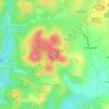
Name: Cumes topographic map, elevation, terrain.
Location: Cumes, Ferreira do Zêzere, Santarém, Centro, Portugal (39.71656 -8.41636 39.71666 -8.41626)
Average elevation: 190 m
Minimum elevation: 138 m
Maximum elevation: 267 m
Thank you for supporting this site ❤️
Make a donation
Make a donation