
华山街道 topographic map
Interactive map
Click on the map to display elevation.
About this map
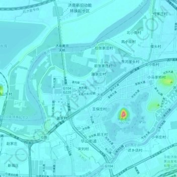
Name: 华山街道 topographic map, elevation, terrain.
Location: 华山街道, 历城区, 济南市, 山东省, 250100, 中国 (36.70686 117.01407 36.77136 117.10533)
Average elevation: 27 m
Minimum elevation: 19 m
Maximum elevation: 172 m