
Stark topographic map
Interactive map
Click on the map to display elevation.
About this map
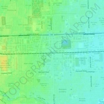
Name: Stark topographic map, elevation, terrain.
Location: Stark, Livonia, Wayne County, Michigan, 48150, United States (42.35587 -83.39271 42.39587 -83.35271)
Average elevation: 200 m
Minimum elevation: 192 m
Maximum elevation: 213 m