
Tannum Sands topographic map
Interactive map
Click on the map to display elevation.
About this map
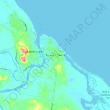
Name: Tannum Sands topographic map, elevation, terrain.
Location: Tannum Sands, Gladstone Regional, Queensland, Australia (-23.99041 151.32927 -23.91041 151.40927)
Average elevation: 9 m
Minimum elevation: -2 m
Maximum elevation: 88 m
Other topographic maps
Click on a map to view its topography, its elevation and its terrain.
Wild Cattle Island National Park
Australia > Queensland > Tannum Sands
Wild Cattle Island National Park, Millenium Esplanade, TannumBlue, Tannum Sands, Queensland, Australia
Average elevation: 6 m