
DeBolt topographic map
Interactive map
Click on the map to display elevation.
About this map
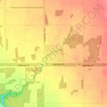
Name: DeBolt topographic map, elevation, terrain.
Average elevation: 644 m
Minimum elevation: 599 m
Maximum elevation: 664 m
DeBolt is located in Peace Country, 58 km (36 mi) east from Grande Prairie and 54 km (34 mi) west of Valleyview along Highway 43. It lies in the Smoky River valley, at an elevation of 640 m (2,100 ft).
Other topographic maps
Click on a map to view its topography, its elevation and its terrain.
Musreau Lake
Canada > Alberta > Municipal District of Greenview
Musreau Lake, Municipal District of Greenview, Alberta, Canada
Average elevation: 889 m
Kakwa Mountain
Canada > Alberta > Municipal District of Greenview
Kakwa Mountain, Municipal District of Greenview, Alberta, Canada
Average elevation: 1,787 m
Little Smoky
Canada > Alberta > Municipal District of Greenview > Little Smoky
Little Smoky, Municipal District of Greenview, Alberta, Canada
Average elevation: 682 m