
锣鼓塔街道 topographic map
Interactive map
Click on the map to display elevation.
About this map
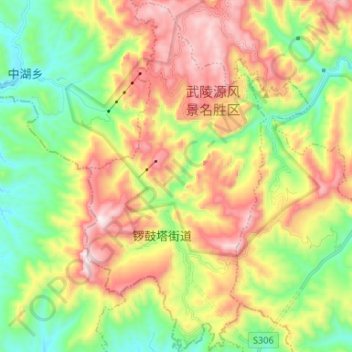
Name: 锣鼓塔街道 topographic map, elevation, terrain.
Location: 锣鼓塔街道, Wulingyuan District, Zhangjiajie, Hunan, 42700, China (29.27036 110.39872 29.38545 110.46654)
Average elevation: 727 m
Minimum elevation: 371 m
Maximum elevation: 1,211 m