
Douglasville Lake Dam topographic map
Interactive map
Click on the map to display elevation.
About this map
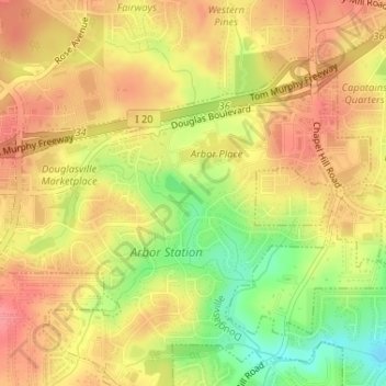
Name: Douglasville Lake Dam topographic map, elevation, terrain.
Average elevation: 328 m
Minimum elevation: 281 m
Maximum elevation: 357 m
Other topographic maps
Click on a map to view its topography, its elevation and its terrain.
Midway
United States > Georgia > Douglas County > Douglasville > Midway
Midway, Douglasville, Douglas County, Georgia, United States
Average elevation: 328 m