
Monticello topographic map
Interactive map
Click on the map to display elevation.
About this map
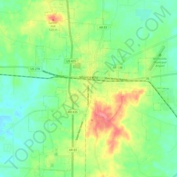
Name: Monticello topographic map, elevation, terrain.
Location: Monticello, Drew County, Arkansas, United States (33.58082 -91.82644 33.66705 -91.73608)
Average elevation: 78 m
Minimum elevation: 51 m
Maximum elevation: 125 m