
County Donegal topographic map
Interactive map
Click on the map to display elevation.
About this map
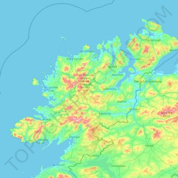
Name: County Donegal topographic map, elevation, terrain.
Location: County Donegal, Ireland (54.45905 -8.83471 55.43530 -6.92273)
Average elevation: 74 m
Minimum elevation: -4 m
Maximum elevation: 697 m