
Bowen topographic map
Interactive map
Click on the map to display elevation.
About this map
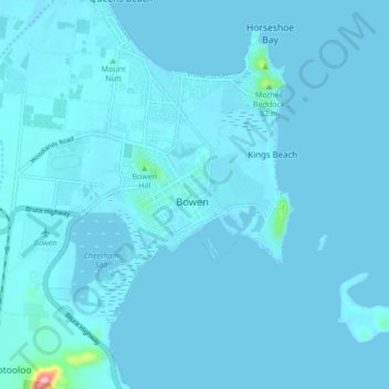
Name: Bowen topographic map, elevation, terrain.
Location: Bowen, Whitsunday Regional, Queensland, 4805, Australia (-20.05213 148.20629 -19.97213 148.28629)
Average elevation: 5 m
Minimum elevation: 0 m
Maximum elevation: 155 m
Other topographic maps
Click on a map to view its topography, its elevation and its terrain.
Bowen Hill
Australia > Queensland > Bowen
Bowen Hill, Bowen, Whitsunday Regional, Queensland, Australia
Average elevation: 8 m