
Killaloe topographic map
Interactive map
Click on the map to display elevation.
About this map
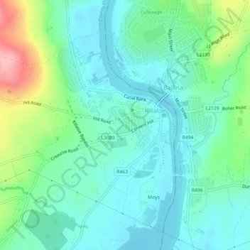
Name: Killaloe topographic map, elevation, terrain.
Location: Killaloe, County Clare, Munster, V94 A2W7, Ireland (52.79422 -8.46100 52.81615 -8.43789)
Average elevation: 58 m
Minimum elevation: 27 m
Maximum elevation: 139 m