
Munster topographic map
Interactive map
Click on the map to display elevation.
About this map
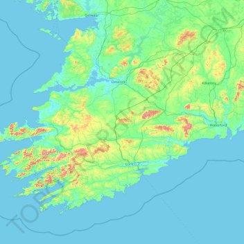
Name: Munster topographic map, elevation, terrain.
Location: Munster, Ireland (51.38887 -10.66262 53.16891 -6.94994)
Average elevation: 66 m
Minimum elevation: -1 m
Maximum elevation: 963 m
Other topographic maps
Click on a map to view its topography, its elevation and its terrain.