
Altıntaş topographic map
Interactive map
Click on the map to display elevation.
About this map
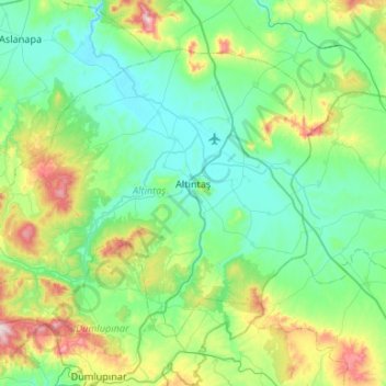
Name: Altıntaş topographic map, elevation, terrain.
Location: Altıntaş, Kütahya, Aegean Region, 43800, Turkey (38.89687 29.74189 39.20439 30.27293)
Average elevation: 1,152 m
Minimum elevation: 1,001 m
Maximum elevation: 1,722 m