
Thank you for supporting this site ❤️
Make a donation
Make a donation
Çayırhan topographic map
Click on the map to display elevation.
Thank you for supporting this site ❤️
Make a donation
Make a donation
About this map
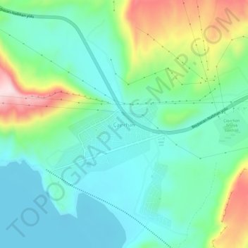
Name: Çayırhan topographic map, elevation, terrain.
Location: Çayırhan, Nallıhan, Ankara, Central Anatolia Region, Turkey (40.07803 31.65240 40.11803 31.69240)
Average elevation: 559 m
Minimum elevation: 458 m
Maximum elevation: 820 m
Thank you for supporting this site ❤️
Make a donation
Make a donation