
Mukono topographic map
Interactive map
Click on the map to display elevation.
About this map
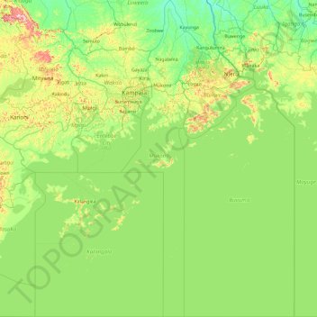
Name: Mukono topographic map, elevation, terrain.
Location: Mukono, Central Region, Uganda (-1.00000 32.50089 0.85874 32.98293)
Average elevation: 1,145 m
Minimum elevation: 1,036 m
Maximum elevation: 1,599 m