
Gibraltar Range topographic map
Interactive map
Click on the map to display elevation.
About this map
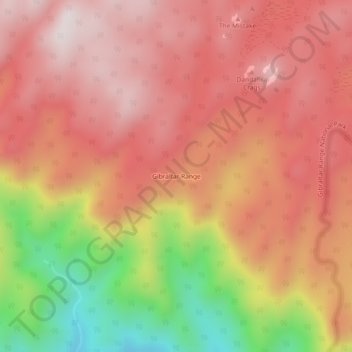
Name: Gibraltar Range topographic map, elevation, terrain.
Average elevation: 861 m
Minimum elevation: 373 m
Maximum elevation: 1,136 m
Other topographic maps
Click on a map to view its topography, its elevation and its terrain.
Washpool National Park
Australia > New South Wales > Gibraltar Range
Washpool National Park, Gibraltar Range, Glen Innes Severn Council, New South Wales, 2370, Australia
Average elevation: 594 m