
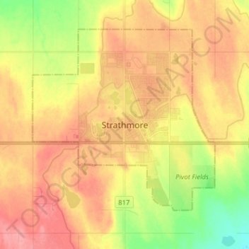
Strathmore topographic map
Interactive map
Click on the map to display elevation.
About this map
Name: Strathmore topographic map, elevation, terrain.
Location: Strathmore, Town of Strathmore, Alberta, T1P 1H8, Canada (51.00355 -113.43985 51.08355 -113.35985)
Average elevation: 970 m
Minimum elevation: 924 m
Maximum elevation: 1,004 m