
Xilitla topographic map
Interactive map
Click on the map to display elevation.
About this map
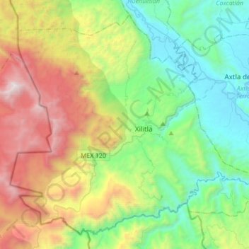
Name: Xilitla topographic map, elevation, terrain.
Location: Xilitla, San Luis Potosi, Mexico (21.27943 -99.13783 21.50281 -98.86639)
Average elevation: 998 m
Minimum elevation: 74 m
Maximum elevation: 2,890 m