
Jammerdal topographic map
Interactive map
Click on the map to display elevation.
About this map
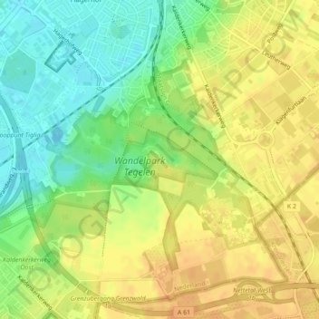
Name: Jammerdal topographic map, elevation, terrain.
Location: Jammerdal, Venlo, Limburg, Nederland (51.34259 6.17052 51.34763 6.18482)
Average elevation: 38 m
Minimum elevation: 19 m
Maximum elevation: 51 m
Other topographic maps
Click on a map to view its topography, its elevation and its terrain.
Hout-Blerick
Nederland > Limburg > Venlo > Hout-Blerick
Hout-Blerick, Venlo, Limburg, Nederland, 5926 RA, Nederland
Average elevation: 22 m