
Geyikceli topographic map
Interactive map
Click on the map to display elevation.
About this map
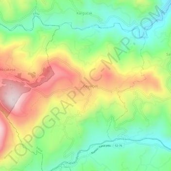
Name: Geyikceli topographic map, elevation, terrain.
Location: Geyikceli, Fatsa, Ordu, Black Sea Region, Turkey (40.91264 37.33846 40.95264 37.37846)
Average elevation: 376 m
Minimum elevation: 155 m
Maximum elevation: 690 m