
Mount McKinley topographic map
Interactive map
Click on the map to display elevation.
About this map
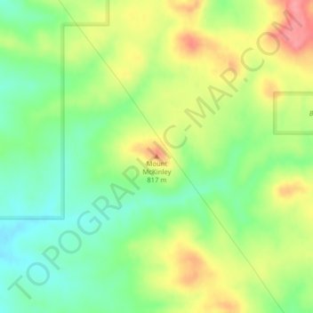
Name: Mount McKinley topographic map, elevation, terrain.
Location: Mount McKinley, Wibaux County, Montana, United States (46.82052 -104.53278 46.82062 -104.53268)
Average elevation: 778 m
Minimum elevation: 740 m
Maximum elevation: 827 m
Other topographic maps
Click on a map to view its topography, its elevation and its terrain.