
Sungai Muar topographic map
Interactive map
Click on the map to display elevation.
About this map
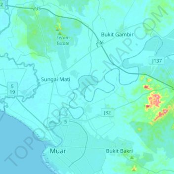
Name: Sungai Muar topographic map, elevation, terrain.
Location: Sungai Muar, Liang Batu, Muar, Johor, 84040, Malaysia (2.03884 102.54076 2.22941 102.79046)
Average elevation: 12 m
Minimum elevation: -2 m
Maximum elevation: 220 m