
Kovanpınar topographic map
Interactive map
Click on the map to display elevation.
About this map
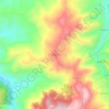
Name: Kovanpınar topographic map, elevation, terrain.
Location: Kovanpınar, Tirebolu, Giresun, Black Sea Region, Turkey (40.90734 38.90184 40.94734 38.94184)
Average elevation: 350 m
Minimum elevation: 104 m
Maximum elevation: 625 m