
Etyemez topographic map
Interactive map
Click on the map to display elevation.
About this map
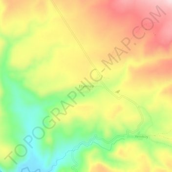
Name: Etyemez topographic map, elevation, terrain.
Location: Etyemez, Kangal, Sivas, Central Anatolia Region, Turkey (38.99762 37.40440 39.03762 37.44440)
Average elevation: 1,562 m
Minimum elevation: 1,391 m
Maximum elevation: 1,724 m